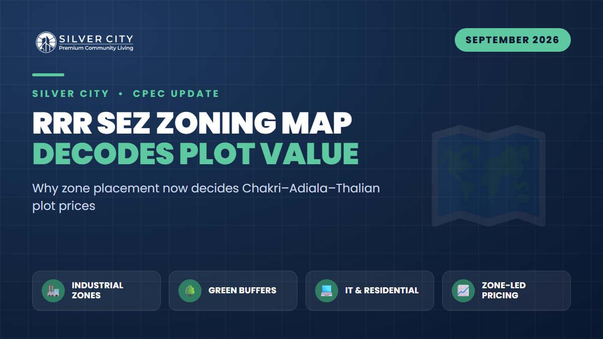
On 22 September 2026, a meeting chaired by Punjab Housing Secretary Noorul Amin Mengal reviewed a comprehensive land-use master plan for the 38-kilometre Rawalpindi Ring Road (RRR) corridor. Rawalpindi Commissioner Salman Ghani, supported by the land-use planning consultant, briefed the meeting, and officials confirmed that a summary for approval of the land-use plan is being sent to the provincial cabinet. The plan reframes the RRR not merely as a bypass but as a Special Economic Zone (SEZ) — branded the “economic gateway of northern Punjab.”
For investors along the Chakri–Adiala–Thalian belt, this is the moment the ground rules change. Until now, plots were priced mostly on distance from an interchange. Once a zoning map is notified, a plot’s value will depend on which zone it falls inside — and two plots 500 metres apart can be re-rated in opposite directions.
What the RRR SEZ Master Plan Actually Contains
According to the briefing reported on 22 September 2026, the integrated land-use plan divides the corridor into distinct functional zones rather than treating it as one undifferentiated strip:
- Light and heavy industrial zones — the commercial engine of the SEZ, expected to anchor the tax-free designation.
- IT, education, sports and food sectors — higher-value, cleaner economic activity clusters.
- Health facilities and hospitals — dedicated allocations for medical infrastructure.
- Residential and commercial areas — where housing societies and retail will consolidate.
- An urban-forest green buffer — a mandatory landscaped separation between residential/commercial and industrial land.
- Bus terminals and essential urban facilities.
This is a meaningful shift from earlier in 2026, when IMF-linked fiscal constraints pushed Punjab toward a leaner PIEDMC-led “industrial estate” model instead of a full incentive-heavy SEZ. The September revival of the SEZ framing — pending cabinet sign-off — signals renewed ambition, but investors should treat the plan as proposed until the cabinet notifies it and the map is published.
How to Read the Zoning Map Like a Valuer
When the notified map arrives, the single most important exercise is locating your plot’s polygon against the zone boundaries. Three placements dominate value outcomes:
1. High-value zones (IT, commercial, residential-front)
Plots designated IT, mixed-commercial or residential-facing along the corridor typically carry the highest per-marla ceiling. They attract end-users, developers and businesses, and they compound as the SEZ populates.
2. Industrial zones
Heavy-industrial land trades at lower per-marla rates than residential, but in larger acreage lots with strong rental/lease demand once operational. A residential-intent buyer sitting inside a heavy-industrial polygon is misplaced; an investor buying industrial-zoned acreage deliberately is not.
3. Green-buffer / urban-forest zones
This is the placement that quietly destroys speculative value. Land inside a designated green buffer cannot be built out commercially or residentially — it becomes landscaped separation. A plot bought as “residential near the interchange” that lands inside the buffer loses its development premium. Conversely, a plot adjacent to (not inside) the buffer gains an amenity view and open frontage.
The Chakri–Adiala–Thalian Interchange Belt
Four of the five RRR interchanges — Banth, Chak Beli Khan, Adiala and Chakri — are reported to be nearing completion alongside the main carriageway, with Thalian tying the corridor into the M-2 motorway network. This belt matters because it overlaps affordable land, existing RDA-approved societies and the new interchanges, while sitting far enough from the saturated Islamabad core to still price attractively per marla.
| Zone type | Best-fit buyer | Relative per-marla value | Zone-placement risk |
|---|---|---|---|
| IT / commercial | Developer, business, flipper | Highest | Low — value compounds |
| Residential (society) | End-user, mid-term holder | High | Low–moderate |
| Light industrial | SME, warehouse, investor | Moderate | Moderate |
| Heavy industrial | Industrialist, acreage investor | Lower per marla, bulk lots | High for residential intent |
| Green buffer / urban forest | None (non-developable) | Lowest | Severe — no build rights |
Note: relative values are indicative of how zoning re-rates comparable land; they are not official RDA rates. Confirm exact figures with the notified plan and on-ground dealers.
Why Zone Placement Now Decides Plot Value
Before a master plan, all corridor land shares one speculative story: “the Ring Road is coming.” After a notified zoning map, that single story fractures into five different ones. The interchange proximity that once justified a blanket premium is now filtered through use-rights. An IT-zoned marla and a green-buffer marla may have been priced identically in 2025; post-notification, they diverge permanently. This is why the cabinet summary is the trigger event — it converts a rumour-driven market into a rules-driven one.
A practical due-diligence checklist
- Get the plot’s coordinates and overlay them on the notified zoning map — never rely on a dealer’s verbal “it’s residential.”
- Confirm the society itself is RDA-approved, so its internal layout aligns with the corridor plan.
- Check distance to the nearest completing interchange (Adiala, Chakri or Thalian).
- Verify you are adjacent to, not inside, any green-buffer polygon.
- Match your intent (build vs. hold vs. lease) to the zone, not the other way around.
Indicative Timeline
| Stage | Status (as of Sept 2026) |
|---|---|
| Industrial-estate model (PIEDMC) | Approved earlier in 2026 amid IMF constraints |
| SEZ land-use plan review | Held 22 September 2026 |
| Cabinet summary for approval | Being submitted |
| Zoning map notification | Pending cabinet decision |
| Interchanges (Adiala, Chakri, Banth, Chak Beli Khan) | Nearing completion |
Frequently Asked Questions
Is the RRR SEZ approved yet?
No. As of 22 September 2026 the land-use plan was reviewed and a summary is being sent to the Punjab cabinet for approval. Until the cabinet notifies the plan and publishes the zoning map, zone boundaries remain proposed, so avoid paying “confirmed SEZ” premiums prematurely.
How do I find out which zone my plot falls in?
Once the map is notified, overlay your plot’s survey coordinates onto the official zoning layer through the society or RDA. Do not rely on marketing claims. A plot’s zone — IT, residential, industrial or green buffer — is what will drive its per-marla value going forward.
Are green-buffer plots a bad investment?
Land inside a designated green buffer or urban forest generally cannot be developed, so its speculative upside is limited. However, plots bordering the buffer often gain from permanent open frontage and views, which can be a genuine premium for residential end-users.
Why do Chakri, Adiala and Thalian matter most?
These nodes combine near-complete interchanges, affordable land and established RDA-approved societies, while staying outside the saturated Islamabad core. That overlap is exactly where SEZ zoning is expected to create the sharpest value gaps between adjacent plots.
The Bottom Line
The RRR SEZ plan heading to cabinet turns the corridor from a single speculative bet into a map of many different bets. Winners will be the investors who read the zoning map before they buy and match their intent to the zone. In the Chakri–Adiala–Thalian belt, doing that homework inside a properly RDA-approved society such as Silver City — which sits in this fast-re-rating corridor — remains one of the more sensible ways to take a measured position ahead of formal notification. Verify the zone, verify the approval, then decide.