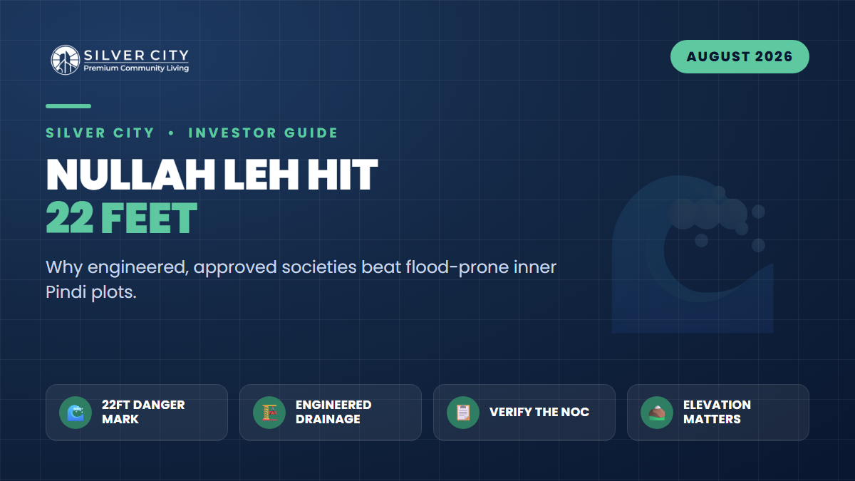
On the morning of 20 August 2026, the twin cities absorbed the heaviest downpour of the monsoon season, and Nullah Leh once again reminded Rawalpindi who is really in charge. Water surged to 22 feet at New Kattarian Bridge and 17.5 feet at Gawalmandi — the district administration’s identified danger threshold for the nullah sits at around 22 feet at Gawal Mandi. Sirens sounded, families were told to move to higher ground, and roads across the older city vanished under nearly 2.2 feet of water.
The worst-hit neighbourhoods were the ones you would expect: densely built, low-lying, and hemmed in by decades of encroachment — Ratta Amral, Dhoke Ratta, Gawalmandi, Pirwadhai, Kartarpura and Mohanpura, alongside pockets of the older Airport-area and Fazal Town localities. Officials pointed squarely at the narrowing of the water channel near the Ganj Mandi bridge, where debris and illegal construction have choked the flow. For a property investor, this is not just a weather story. It is a pricing signal.
Why This Flood Is an Investment Lesson, Not Just a News Cycle
Every monsoon, the same inner-city pockets flood, get pumped out, and are quietly re-sold at a discount that never quite prices in the risk. The problem is structural, not seasonal. When a natural drain is squeezed by encroachment, the same rainfall produces a higher, faster, more destructive flood each year. Buyers who chase a “cheap” plot near the nullah are effectively buying a recurring liability: damaged ground floors, unsellable stock during rains, rising insurance and repair costs, and a resale value capped by the flood reputation of the katchi (unplanned) belt.
Contrast that with a properly engineered, RDA-approved scheme built on higher ground with designed stormwater drainage. The premium you pay upfront is, in effect, an insurance policy against the 22-foot mornings.
The Pre-Purchase Drainage & Elevation Checklist
Before you sign anything in Rawalpindi — inner city or new society — walk through these checks. Ideally visit the site once in dry weather and once during or right after heavy rain.
- Distance from Nullah Leh and its feeder drains. Pull up the plot on a map and measure its straight-line distance to the nullah and any tributary storm drain. Anything within the historic floodplain of the katchi belt deserves extreme caution.
- Relative elevation. Ask a simple question: does water drain away from the plot, or toward it? Low-lying plots at the bottom of a slope collect runoff from everything above them.
- Engineered stormwater system. A serious society has covered drains, culverts, retention/detention arrangements and a designed outfall — not just open kacha ditches. Ask to see the drainage layout in the approved plan.
- Road level vs plot level. Plots built below the finished road level become sumps. Check the plinth height allowed in the society’s building bylaws.
- Encroachment exposure. Is the plot’s drainage dependent on a channel that runs through an encroached, unregulated area downstream? If the outfall is blocked, your drainage fails regardless of how good it is on paper.
- Legal status — the decisive filter. Confirm the society holds a valid RDA NOC to sell, not merely a layout approval. Verify it yourself (see below).
- Local flood history. Ask neighbours, shopkeepers and property dealers the blunt question: “Yahan pani aata hai?” (Does water come here?) People who live through every monsoon give you honest answers.
Inner Pindi Plot vs Engineered Approved Society: A Side-by-Side
| Factor | Encroachment-choked inner Pindi | Engineered RDA-approved society |
|---|---|---|
| Elevation | Often low-lying, within Leh floodplain | Planned on higher ground, graded to drain |
| Drainage | Old, undersized, encroached channels | Designed stormwater network with outfall |
| Legal status | Frequently mixed / unregularised | RDA NOC-approved, verifiable online |
| Monsoon risk | Recurring flooding at 20–22 ft nullah levels | Materially lower, by design |
| Resale liquidity | Capped by flood reputation | Stronger, buyer-confidence driven |
| Entry price | Lower headline, hidden costs | Higher upfront, lower lifetime risk |
How to Verify an NOC in 15 Minutes
Do not take a brochure’s word for it. In Rawalpindi, housing societies fall under the Rawalpindi Development Authority (RDA), and there is a meaningful legal difference between a layout plan approval (the map is approved) and an NOC to sell (plots can be legally sold and registered).
- Check the official RDA portal at rda.gop.pk for the current list of approved schemes and their status.
- Ask the developer for the physical NOC letter and note the reference number and date.
- If in doubt, visit the RDA office on Murree Road near Liaqat Bagh and confirm in person.
- Cross-check that the specific block or phase you are buying in is covered — approvals are often phase-specific.
Where Silver City Fits
Among the RDA-approved options drawing investor attention is Silver City, located on Girja Road near the Thalian Interchange — well outside the congested Leh floodplain of inner Pindi. Developed by Laraib Associate & Developers and the SAREMCO Group, it is planned as a gated, master-planned community with direct access toward the Islamabad International Airport, the M-2 Motorway and Ring Road corridors. For buyers rattled by the 2026 floods, that combination of higher, planned ground, engineered infrastructure and verifiable RDA approval is exactly the profile this checklist is built to favour.
Frequently Asked Questions
How high did Nullah Leh actually rise in August 2026?
During the heaviest downpour of the season on 20 August 2026, the water level reached about 22 feet at New Kattarian Bridge and 17.5 feet at Gawalmandi before receding once the rain stopped. The administration treats roughly 22 feet at Gawal Mandi as the danger point at which residents are warned to evacuate.
Why do the same inner-city areas flood every year?
The channel of Nullah Leh and its feeder drains has been progressively narrowed by encroachment and debris, especially around chokepoints like Ganj Mandi bridge. A constricted channel cannot carry the same rainfall, so densely built, low-lying localities — Ratta Amral, Dhoke Ratta, Gawalmandi, Kartarpura, Pirwadhai and similar — flood repeatedly.
Is a higher-elevation society completely flood-proof?
No location is “flood-proof,” but risk is dramatically reduced when a scheme is built on higher ground with a properly designed and maintained stormwater drainage system and an unobstructed outfall. Elevation plus engineering plus maintenance is what protects you — not any single factor alone.
What is the single most important document to check?
The valid RDA NOC to sell for your specific block or phase, verified independently at rda.gop.pk or the RDA office — not just a layout approval and not just the developer’s brochure.
Bottom line: The 22-foot morning of August 2026 is a warning that Rawalpindi’s flood risk is concentrated, predictable and priced into the wrong plots. Run every purchase through the drainage and elevation checklist, verify the NOC yourself, and lean toward engineered, higher-ground developments. An RDA-approved, master-planned option like Silver City on Girja Road is well worth shortlisting as you weigh where to put your money after this monsoon.