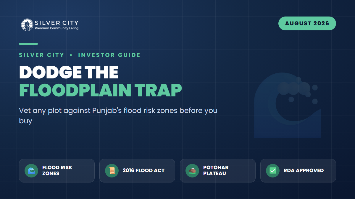
As August 2026 rains push the Chenab, Ravi and their linked nullahs toward high-flood levels — with the Jhelum and Soan running swollen and the Indus at low-flood stage — Pakistani property buyers are relearning an expensive lesson: a beautiful master plan means nothing if the land itself sits where a river reclaims its space. The Flood Forecasting Division warned of possible high flooding in storm-water nullahs linked to the Chenab and Ravi between 15–21 August, even as the major rim stations held at low flood. Tarbela hit its maximum conservation level and Mangla crossed the two-thirds mark. Every monsoon, farmland is submerged, embankments breach, and — increasingly — housing plots that were sold as “prime riverside” turn into insurance write-offs.
The good news: Punjab already has a law that tells you exactly which land is dangerous. Most buyers have never heard of it. This guide shows you how to use the Punjab Flood Plain Regulation Act, 2016 to vet any plot before you sign — and why an elevated Potohar-plateau society like Silver City sidesteps the risk that river-adjacent schemes cannot.
What the Punjab Flood Plain Regulation Act Actually Says
Passed as Act No. XXVII of 2016 (note: it is a 2016 law, not 2026 — a common mix-up), the Act empowers the Punjab government to declare land along the province’s rivers as “flood plain” and to classify it by risk. Land beside the Ravi, Chenab, Jhelum and Sutlej is mapped into three categories:
- High-risk zone — the natural course of the river, plus low-lying ground it has historically flooded. Construction is restricted or outright barred.
- Medium-risk zone — flooded in larger events; conditional, engineered construction only.
- Low-risk zone — the outer margin, flooded rarely and least severely.
Across Punjab’s rivers, official mapping identifies roughly 1,990 high-risk, 1,278 medium-risk and 3,169 low-risk zones. The government notifies flood plains in the official Gazette, and any construction inside one legally requires permission from the area Canal Officer — a permission most plot-file sellers never mention, because their land would fail the test.
How to Vet Any Plot in Five Steps
- Locate the plot on a map and measure its straight-line distance to the nearest river or major nullah. If it is within a few hundred metres of an active channel, treat it as suspect until proven otherwise.
- Check the Gazette / Irrigation Department records. Ask the local Canal Officer or Irrigation Department office whether the land falls inside a notified flood plain and which risk category applies.
- Demand the RDA/CDA/TMA approval and NOC for the whole scheme. Approved societies are vetted for drainage, land use and — critically — location outside restricted zones.
- Study the elevation and the last three monsoons. Ask neighbours and search local news for 2022, 2025 and 2026 flooding at that exact spot. Photos don’t lie.
- Confirm on-ground drainage. Even safe land needs storm-water channels. Look for graded roads, culverts and outfalls in the developed part of the scheme.
Risk Zones at a Glance
| Zone | Where it sits | Construction status | Investor verdict |
|---|---|---|---|
| High-risk | River’s natural course & historically flooded low ground | Restricted / prohibited | Avoid — capital at direct risk |
| Medium-risk | Ground flooded in larger events | Conditional, engineered only | High caution; verify NOC + defences |
| Low-risk | Outer floodplain margin | Generally allowed | Acceptable with drainage checks |
| Outside floodplain (e.g. Potohar plateau) | Elevated, undulating terrain away from major rivers | Not regulated as floodplain | Lowest natural flood exposure |
Why Elevation Beats a River View
The societies suffering worst in 2026 are those built on the flat alluvial belts of central and southern Punjab, hugging the Ravi, Chenab and Sutlej. Flat land is cheap and easy to plan — which is exactly why developers keep pushing into it, and exactly why it floods. When a river tops its embankment, water spreads for kilometres across that flat ground with nowhere to drain.
The Potohar plateau that carries Rawalpindi and Islamabad is different terrain entirely: elevated, rolling and naturally well-drained, sitting well above the great river floodplains that the 2016 Act regulates. Its own watercourse, the Soan, runs in incised channels rather than sprawling plains. Buy on higher plateau ground — and away from the immediate bed of any local nullah — and you have removed the single biggest uncontrollable risk to a Pakistani land investment.
Where Silver City Fits
Silver City Rawalpindi is an RDA-approved housing society on Girja Road, near the Thalian Interchange — squarely on the elevated Potohar plateau, not inside any notified river floodplain. It is roughly 4 km from the M-2 Thalian Interchange and about 8 km from the New Islamabad International Airport, a joint venture of Laraib Associate & Developers (Pvt) Ltd and the SAREMCO Group. That combination — regulatory approval plus high, dry terrain — is precisely the profile the Flood Plain Regulation Act is designed to steer buyers toward.
Indicative Silver City Options (2026)
| Plot size | Type | Payment approach |
|---|---|---|
| 3.5 Marla | Residential | Low down payment, monthly instalments |
| 5 Marla | Residential | 3-year instalment plans |
| 10 Marla | Residential | Instalments up to ~4–5 years |
| 1 Kanal | Residential | Instalments; larger investment tier |
Prices move with the market and category; several listings show entry pricing from around PKR 2 million with development charges included, and 5 Marla files quoted near PKR 1.5 million on instalments. Always confirm the current, official rate and plot location directly with the developer before paying.
Frequently Asked Questions
Is the Punjab Flood Plain Regulation Act from 2016 or 2026?
It is the Punjab Flood Plain Regulation Act, 2016 (Act No. XXVII of 2016). The “2026” you may see refers to this year’s flooding, not the law. The Act remains the active legal framework for classifying and regulating construction in Punjab’s river floodplains.
How do I find out if a specific plot is in a high-risk flood zone?
Contact the area Canal Officer or the Irrigation Department and ask whether the land falls within a notified flood plain and which risk category applies. Cross-check with the society’s RDA/CDA/TMA approval, the plot’s elevation, and local flood history from 2022, 2025 and 2026.
Does RDA approval mean a society is flood-safe?
Approval greatly lowers the risk, because approved schemes are assessed for land use, drainage and location outside restricted zones. It is not a weather guarantee, however — you should still confirm the terrain is elevated and that internal storm-water drainage exists on the ground.
Why is a Potohar-plateau location safer than a riverside society?
The plateau is high, undulating and naturally drained, sitting above the flat alluvial belts along the Ravi, Chenab and Sutlej that flood when embankments breach. Elevation removes the main uncontrollable flood risk that river-adjacent, floodplain-built societies carry every monsoon.
The Bottom Line
In a year when four rivers ran high at once, the smartest due diligence a Pakistani investor can do is free: check the plot against the Punjab Flood Plain Regulation Act’s risk zones before checking the payment plan. Prioritise RDA-approved schemes on elevated ground and away from active nullahs. On that test, an approved, Potohar-plateau society like Silver City Rawalpindi is a sensible option worth shortlisting — but verify current prices, the exact plot location and all approvals directly before you commit.
@@END@@